
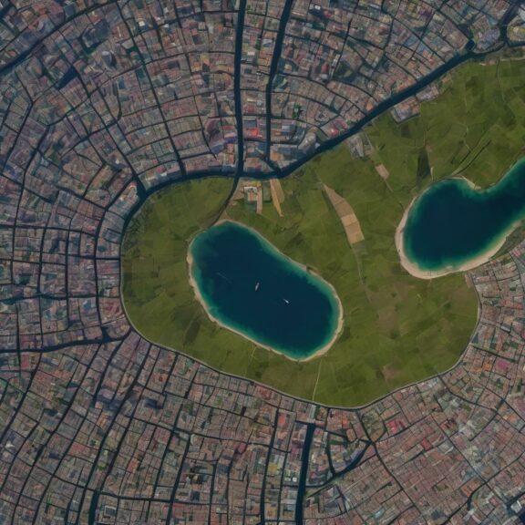
We help you turn satellite images into detailed 3D models to map areas, and use them for urban planning, disaster response, and environmental management. We tested the hypothesis that can predict the height of buildings from satellite images, potentially revolutionizing the way we map terrain.
Read more about this A digital twin of terrain – 3D model from satellite images.
you might also like…

Build Checking Document Outline with LLM with MindCraft AI
We want to share with you how to develop a solution for organizations facing the challenge of receiving several documents... Read more

Merry Christmas and Happy New Year
As we celebrate this festive season, we extend warm wishes for a Merry Christmas filled with joy. We’re grateful for... Read more